What is LAS 2.0 Litho Data?
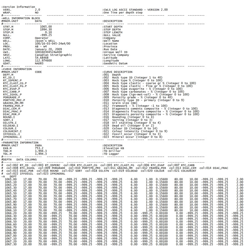
Canstrat's LAS Litho Data is a code based representation of the information that is stored within a litholog. Each piece of lithologic information such as depth, rock type, porosity and oil staining are given a curve designation in our LAS 2.0 files. These comprehensive files contain 240 recorded properties.
Sample Image
* Data pictured is for sample purposes only.
How is it made and who makes them?
The LAS Litho Data is made using propriety Canstrat software which codes our data into the standard LAS 2.0 format. Once a Canstrat log has been made by one of our specially trained geologists, they code the litholog using our software.
How can I leverage this data?
Lithographic information from cuttings is very powerful once it has been coded into a digital format. At Canstrat, we use our lithology data to power our lithology search engines in LogSource, our newly released, web-enabled software. This software, integrated with Sigma’s SigMAP GIS, makes any lithographic property searchable. This allows a user to quickly find multiple wells of interest based on specific search criteria.
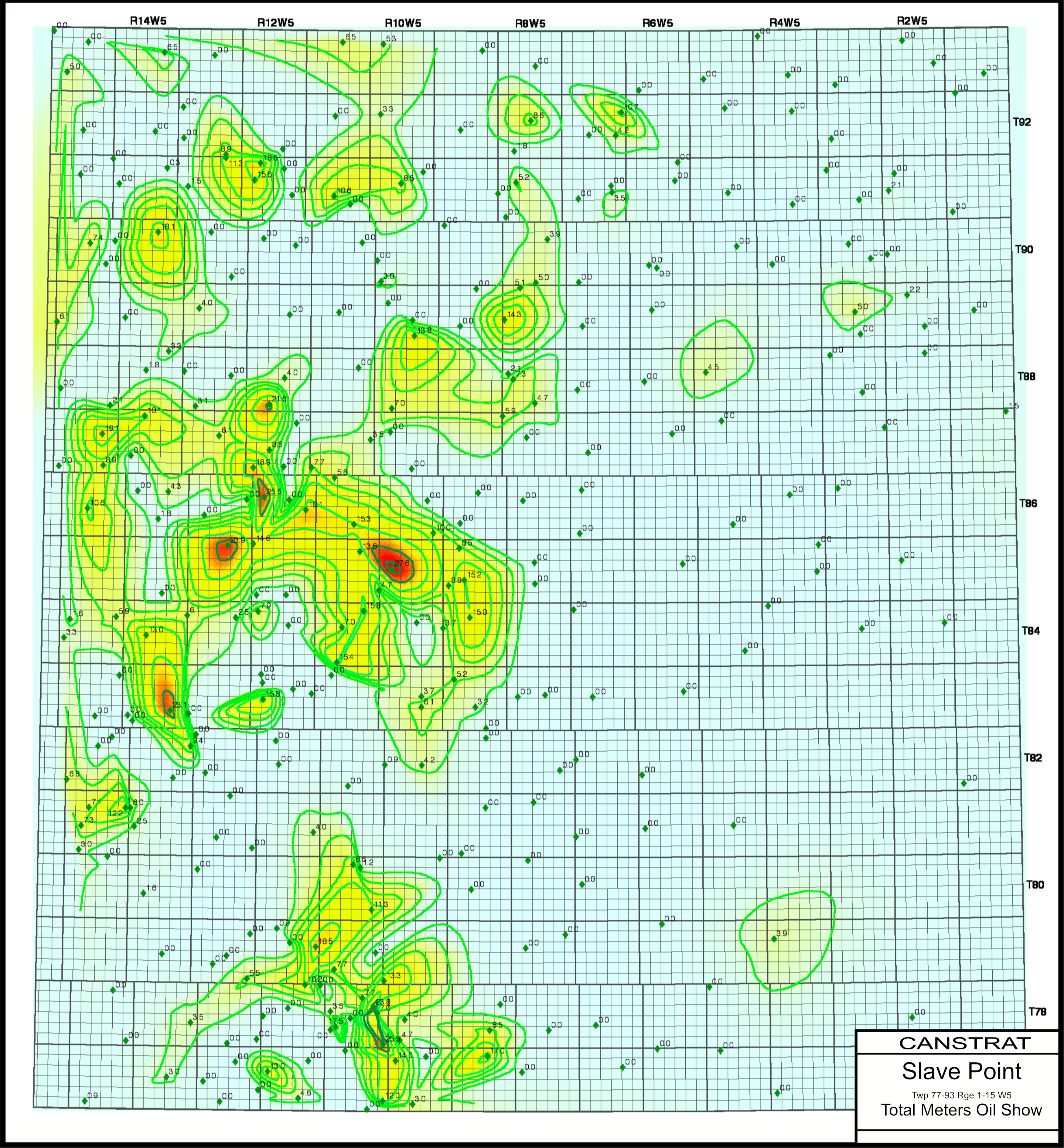
Canstrat's LAS Litho Data can also be used for mapping of any recordable property. For example, a user can map the thickness of a specific property, such as oil staining, for a formation from multiple wells across an area. A user could even map multiple properties and layer maps on top of each other to visually interpret interwoven trends that were previously unseen.
LAS Litho Data can also be used in formation analysis, formation modeling, petrographic calculations, and engineering calculations.


